


Community information · Structured evidence · Data sovereignty
Ground Control
The knowledge belongs to the community. Ground Control makes the evidence visible.
Introduction
The knowledge belongs to the community. Ground Control makes the evidence visible.
Where it begins
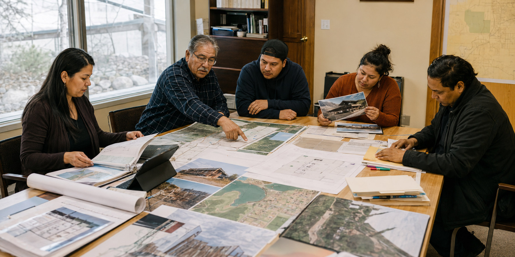
Imagine placing every piece of information a community holds onto one table.
The housing records. The maps. The photographs. The emergency plans. The notes from inspections. The insurance documents. The report in a filing cabinet. The improvement completed last year.
And the knowledge carried by the people who have worked in the community for decades.
It would be a very large table. Because First Nations communities are not short of information. They are full of it.
Ground Control · An AERS service
One picture, not a dozen fragments
Every First Nations community holds an enormous amount of knowledge — in leadership, housing teams, fire departments, Public Works, finance and the community itself.
But that knowledge is often spread across paper files, spreadsheets and individual departments. Underwriters cannot recognize an improvement they cannot see, and funders cannot evaluate a need that has not been clearly documented.
Ground Control brings the pieces together and turns the information a Nation already possesses into structured, usable evidence.
What it organizes
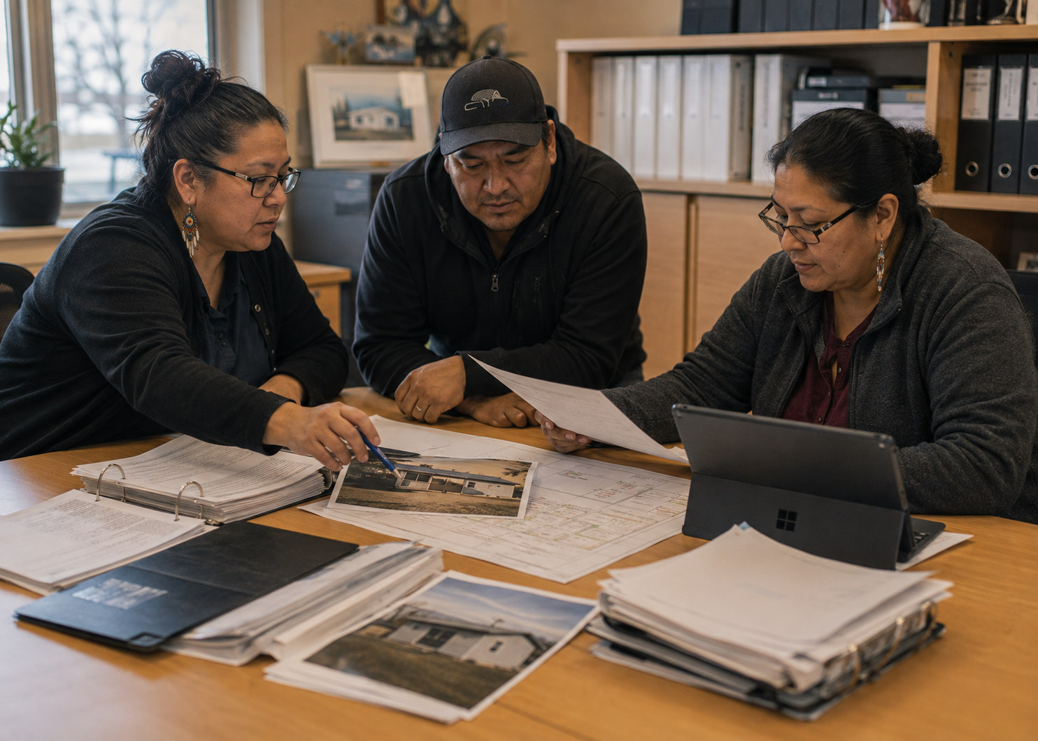
Housing conditions, community assets, fire protection, water systems, infrastructure, emergency plans, claims history and capital priorities — organized so leadership can compare needs across departments.
What the evidence supports
At renewal, recent training, equipment and inspections are presented clearly, so the insurer no longer sees an outdated version of the community. After a loss, the same records establish what existed and what was damaged — and they strengthen funding applications and capital planning.
Ground Control · An AERS service
The Nation remains central
Data sovereignty by design
Community data is not simply another outside resource. It is connected to the Nation's people, assets, land, governance and future.
Accountability, access controls and respect for data sovereignty are built into the process rather than added as a clause at the end. Ground Control does not replace leadership, departmental knowledge or the community's decision-making — the knowledge belongs to the community, and so do the decisions.
Service standards
- Renewal planning — 90 · 60 · 30: days before renewal
- Underwriting readiness — 10 days: submission package within 10 business days of request
- Claims support — Same day: acknowledgement, weekly updates
- Community responsiveness — 1 day: response within 1 business day
How the pieces work together
- AERS — Gathers and validates the conditions on the ground.
- Ground Control — Organizes what the Nation already holds into structured evidence.
- AIS — Uses the approved evidence in underwriting and claims discussions.
The Nation uses the same evidence for its own planning, claims, funding and decisions.
When information is organized, the Nation can negotiate from facts — demonstrate progress, identify priorities, and make stronger decisions about what comes next.
Communities were not only trying to recover from today's challenges — they were also trying to resolve yesterday's.
What a community receives
Work a Nation can hold, use and put in front of anyone
A Ground Control assessment produces work the community owns — assembled once, kept current, and ready for leadership, funders, insurers and partners.
- Baseline documentation — Documents what a Nation already owns, protects and does well, strengths first, before identifying risk.
- Risk identification — Identifies assets, services, safeguards, dependencies and improvement needs across the community.
- Evidence organization — Organizes community evidence into a verified baseline an underwriter can recognize.
- Five-year Community Road Map — Converts findings into a sequenced improvement plan with clear priorities and ownership.
- Underwriting recognition — Produces a more complete underwriting picture so insurers price what is actually there rather than what is missing by design.
And a staged roadmap
Immediate
What protects people and assets now.
Short term
What closes the gaps the assessment found.
Long term
What builds lasting capacity and standing.
Not a verdict on a community. A sequence the community controls.
Principles
The community remains at the centre
Community information is not simply data. It represents homes. Infrastructure. Decisions. People. Land. History. Investment. And plans for the future.
- The knowledge belongs to the community.
- The community decides how it should be understood and used.
- Ground Control helps make that work visible — not by inventing a new story, but by organizing the story that is already there.
- Nothing is shared outside the community without the community's direction.
- That information should strengthen the Nation that created it.
A Nation can enter a room with more than an opinion. It can enter with evidence.
The insurance position
Readiness the market can actually see
Insurance follows information. Where protections are undocumented, they are priced as unknowns — and uncertainty is expensive.
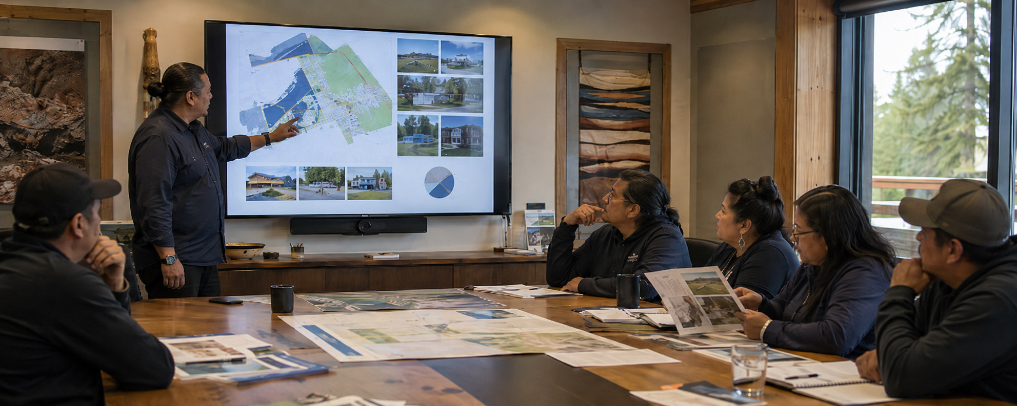
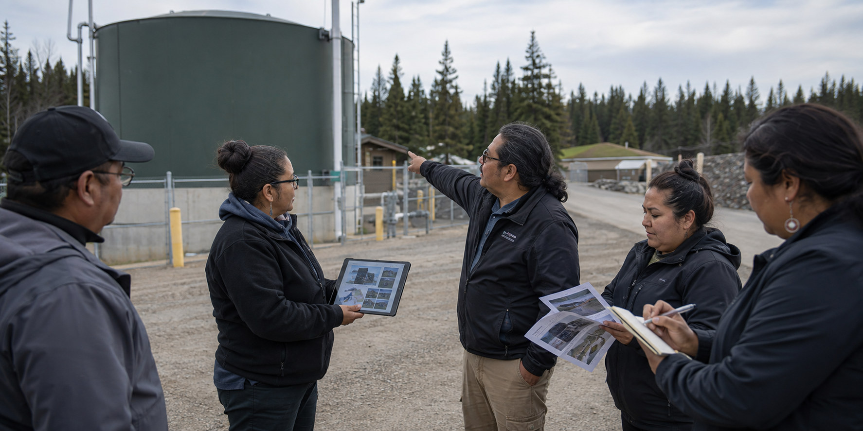
Ground Control changes what is available to be seen. Protections are documented. Risk controls are validated. Records are maintained. Compliance can be demonstrated rather than asserted.
None of it is new work. It is the work the community has already done, finally on the record.
That gives AIS something concrete to bring to an underwriting discussion — an evidence file rather than an assumption, and a community that can answer questions with records.
The intent is a steady move away from uncertainty-based pricing toward evidence-based underwriting, with a documented position that is renewed and strengthened each year.
Ground Control does not work alone. Assessment, Ground Control and community planning sit on one team at AERS, working from the same evidence toward the same future.
A Nation that can evidence its readiness is no longer priced on what an underwriter cannot see.
What Ground Control is
Ground Control is a service of AERS and the evolution of the Community Risk Assessment Safety Program (CRASP) created by AERS. It carries the assessment work through to a verified baseline, a practical Road Map and a more complete underwriting picture.
Where it begins
Imagine placing every piece of information a community holds onto one table. The housing records. The maps. The photographs. The emergency plans. The notes from inspections. The insurance documents. And the knowledge carried by the people who have worked in the community for decades. It would be a very large table, because First Nations communities are not short of information. They are full of it.
What it brings together
Ground Control gathers the records, plans and knowledge a community already carries into a single working picture, then measures readiness against it the same way each time, so movement can be seen year over year. Leadership can see what exists, what is at risk, what is already protected, what is missing, and what should be done first.
What a community receives
A Ground Control assessment produces documents the community owns: a readiness report, an asset inventory, a risk assessment, hazard mapping, building evidence files, deficiency tracking, an insurance readiness review, an emergency management gap analysis, community benchmarking and a multi-year improvement roadmap. Not a verdict on a community. A sequence the community controls.
The community remains at the centre
The knowledge belongs to the community. The community decides how it should be understood and used. Nothing is shared outside the community without the community's direction. A Nation can enter a room with more than an opinion. It can enter with evidence.
Talk to AERS about ground control.
More from AERS
Community asset verification
Identifying and confirming what a Nation owns across buildings, housing, infrastructure, equipment and essential services.
Asset mapping
Locating and recording community assets and their dependencies so the full picture is held in one place.
Field assessment and site review
On-the-ground review of structures, systems and community services by qualified assessors.
Fire service and life-safety evaluation
Assessment of community fire services, fire protection and life-safety provision in the community context.